
Climatological Atlas of the Nordic Seas and Northern North Atlantic
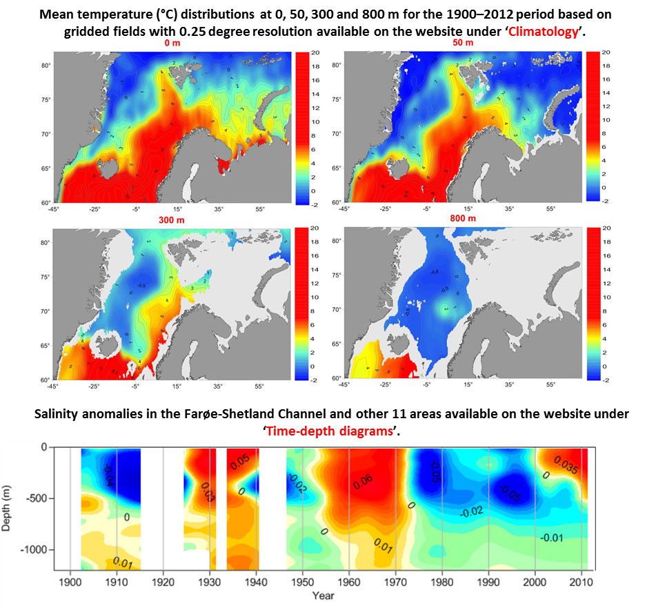
The Atlas is based on data collected from more than 500,000 stations between the years 1900 and 2012. It contains decadal, periodic, annual and monthly climatological fields for water temperature, salinity, and density on a 0.25-degree grid at different depths. In addition to the climatological maps, time-depth diagrams of all parameters, including oxygen, at twelve selected areas covered by long-term observational programs, are available.
The Atlas can be downloaded here.
Please cite this Atlas as follows: Korablev, A., A. Smirnov, and O. K. Baranova, 2014. Climatological Atlas of the Nordic Seas and Northern North Atlantic. D. Seidov, A. R. Parsons, Eds., NOAA Atlas NESDIS 77, 122 pp., dataset doi: 10.7289/V54B2Z78.